| Touring
routes report home page Table of Contents Previous: Connecticut to Westfield Next: The Mt. Tom Link |
|
| Touring
routes report home page Table of Contents Previous: Connecticut to Westfield Next: The Mt. Tom Link |
|
Westfield to Northampton
Cue sheet northbound | Cue sheet southbound
The route between Westfield Center and Northampton -- from the Westfield River to the Connecticut River -- mostly follows the base of the Berkshire foothills, in order to avoid high traffic volumes in populated areas closer to the Connecticut River.
While the route has been chosen to avoid long, difficult climbs, there are a number of short but fairly steep climbs in both directions. The total elevation gain in each direction is almost the same, a bit over 900 feet in 25 miles, since the route comes down to river level at each end.
This segment is mostly a tourists' connecting route until it approaches Northampton. The stress is on pleasant riding conditions, rather than cultural attractions. However, the route offers frequent mountain views, and passes through several village centers.
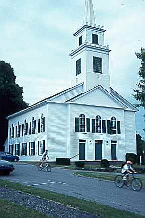
Points of interest include the claseeic Weshampton town center;
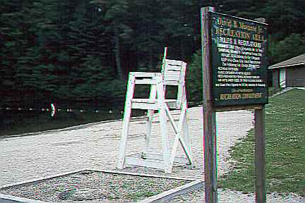
a public swimming area below the Northampton reservoir;
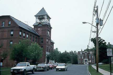
the classic mill village of Leeds with its dams and old brick mills now converted to apartments;
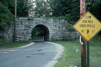
a stone arch bridge under an old railroad bed east of Leeds; and the cultural attractions of Northampton. In Northampton, the route makes use of the Northampton bikepath and connects it to the Norwottuck Bikepath. The segment of the route east from the public swimming area to the Connecticut river is the western part of the Connecticut Valley core route, with easy riding and minimal climbing, suitable for short rides by novice riders as well as being part of the through touring route.
An alternative (Mount Tom Link, see below) has been offered which goes through the Mt. Tom Reservation, with its memorable climb and view. However, this alternative foregoes many of the more interesting sights west of Northampton. It will certainly be of interest to tourists making a north-south round trip.
Most of the route is on quiet country roads. The first few blocks from the Westfield River in Westfield are on a busy urban arterial; for suggested improvements, see comments on the Connecticut border-Westfield segment.
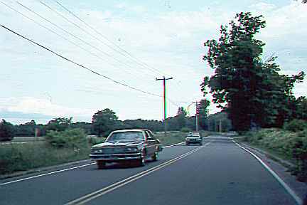
Many of the country roads are narrow; exceptions are
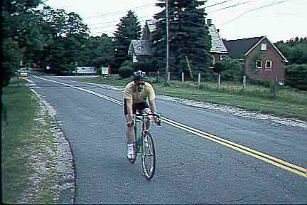
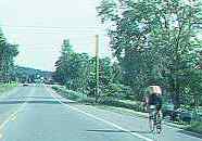
Montgomery Road in Westfield (note change in width at town line in background) as well as
Russellsville Road and Fomer Road in Southampton. With increasing sprawl development, the narrow roads will become less and less attractive; within about 25 years, attractiveness for bicycle touring will be lost unless the roads are widened or alternates are developed. One possibility that particularly deserves attention is the development of a riverfront route between the Mount Tom Reservation and Elm Street at the north end of Northampton. Nearly this entire segment is isolated east of Interstate 91 and would be scenic and traffic-free; a bicycle route here would open up a long stretch of riverfront as a scenic resource.
The short segments of the route on Route 5-10 in Southampton and Route 9 in Northampton are wide enough to carry current bicycle and motor traffic together without significant conflict, though the segment on Route 5-10 will be a problem unless widened if it ever carries heavy truck traffic.
The Northampton bicycle path (photos) bypasses a busy downtown business district, but it is has serious safety deficits. Very little has been done to slow motorists on busy streets crossing the path. Quite the contrary, the path is obstructed by numerous barricades, apparently due to the belief that bicycles rather than the motor traffic need to slow down for safety's sake! Many of the barricades are positioned so that they themselves pose a significant hazard.
The Northampton path unfortunately fails to connect with the recently-built Norwottuck Bicycle Path, though their ends come within a half mile of one another (photos). Plans are moving forward to connect them. A connection on streets, suitable for experienced bicyclists, is also available. This connection requires some travel on King Street, a major arterial.
| Touring routes report home page Table of Contents Previous: Connecticut to Westfield Next: The Mt. Tom Link |
Prepared by John S. Allen, 1993 |
 Touring