Bike Ride South from the
Neponset Trail
Saturday, October 25, 2025
From Paul's Bridge at the Milton Readville line, we'll follow the
Neponset River south on its east side to its East Branch in Canton near the
185-year-old Canton Viaduct, which still carries Amtrak south to New York from Boston.
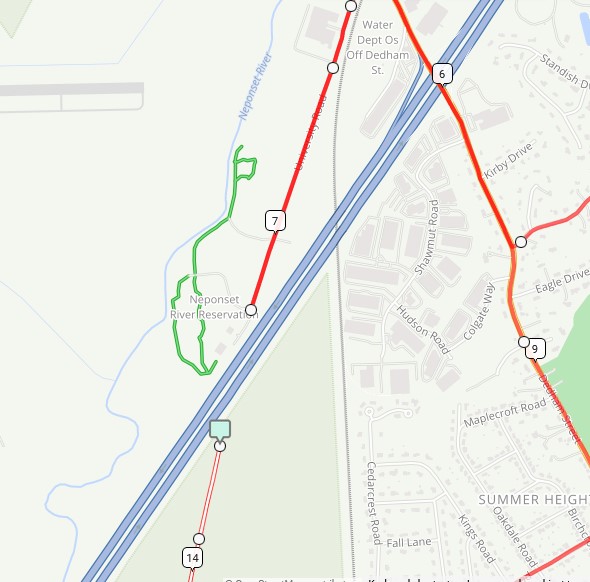
On our way south, we'll take a detour to Signal Hill, on the river south of Rt. 128
and west of I-95, and on the way back, we'll detour on a gravel path which used
to be a runway at the old Canton Airport, now the 1st Lt. Arthur E. Farnham, Jr.,
and SSgt. Thomas M. Connolly, Jr. Memorial State Park. As you can see from the map,
it could easily connect with Signal Hill Reservation if it weren't for I-95.
We'll bike back to Pauls Bridge through Norwood, Westwood, Dedham, and the
Readville neighborhood of Boston, where we'll stop to check out Sprague Pond.
Helmets are required, and hard rain will postpone the ride.
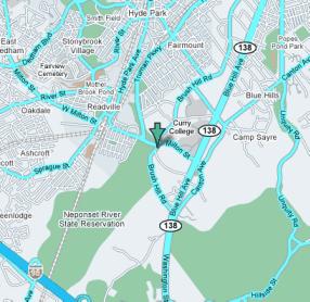
Signal Hill and Canton Airport are very close
Details
- Where: Meet at the parking lot at Paul's Bridge and Brush Hill Road at the edge of the Blue Hills just off the Neponset Valley Parkway.
- When: Departing at 10:00 am, Saturday, October 25, 2025
- Distance: about 24 miles.
- Pace: Relaxed, probably 8-12 MPH.
- Terrain: Rolling with a few not-too-steep hills
- Route: Mixture of on-road (90%) and shared-use path (20%), with a few spots of heavy traffic.
- Leader: Jessica Mink
Maps and Cue sheet
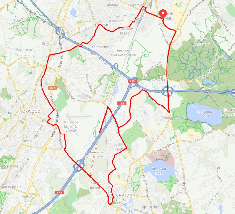
Route map, click to fill page.
Getting There
BicycleRide south from Forest Hills on Hyde Park Ave. to Readville, then turn left on the Neponset Valley Parkway to Brush Hill Rd. just after crossing the Neponset River. From the eastern part of Boston, get to Mattapan Square and follow Brush Hill Rd south by forking left from Truman Parkway in Milton.
MBTA
You can take your bike on T rapid transit lines and bus lines for no extra charge.
Details are on the
MBTA website.
From Forest Hills (Orange Line), take Hyde Park Ave. to Readville and
turn left on the Neponset Valley Parkway to Paul's Bridge.
or take the #32 bus from the lower Forest Hills platform to Wolcott Square in Readville and
go east on the Neponset Valley Parkway to Paul's Bridge..
Car
Take the Route 138 exit from Route 128/93N, and go north to Brush Hill Rd.
Turn left using a right turn through a jug handle.
Bailout points
Bring your phone to call for help. Northbound MBTA trains can be caught at Readville,
Canton Junction, Canton Center, and Route 128 Station.
MBTA bus 716 goes from Canton Center past the Blue Hills to Mattapan Square,
where you can take a #31 bus to Forest Hills, a train to South Station,
or a #28 bus to Ruggles Orange Line station.
Click for Google Map of starting point