Neponset Greenway Spring Bike Ride
Saturday, March 19, 2016
Celebrate the astronomical end of winter with a bike ride along Boston Harbor
and the Neponset River Greenway from Castle Island to Paul's Bridge
and back. We'll be especially interested in looking at the sections
where construction is currently going on between the current trail loose
ends in Milton and Mattapan.
We'll be riding on moderate terrain with very little climbing for
a distance of a bit over 25 miles.
This ride is sponsored by the Neponset River Greenway Council.
2016:[Photos]
2015:[Ride]
[Photos]
2014:[Ride]
[Photos]
2013:[Ride]
[Photos]
2012:[Ride]
[Photos]
2011:[Ride]
[Photos]
2010:[Ride]
[Photos]
2009:[Ride]
[Photos]
2008:[Ride]
[Photos]
2007:[Ride]
[Photos]
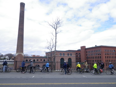
2011 cyclists overlooking the Lower Mills power plant
Details
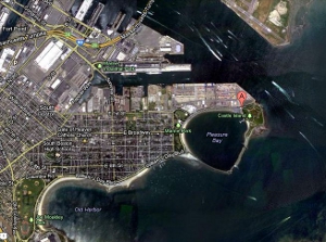
- Where: Meet at Sullivan's on Castle Island, Fort Independence Park, South Boston (at the end of Day Boulevard).
- When: Departing at 10:00 am, Saturday, March 19, 2016
- Distance: about 28 miles.
- Pace: Relaxed, probably averaging 6-10 MPH.
- Terrain: Mostly flat.
- Route: Mixture of on-road (50%) and shared-use path (50%).
- Leader: Jessica Mink
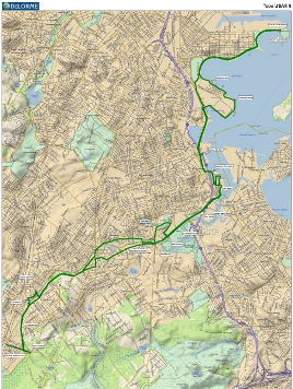
Maps and Cue sheet
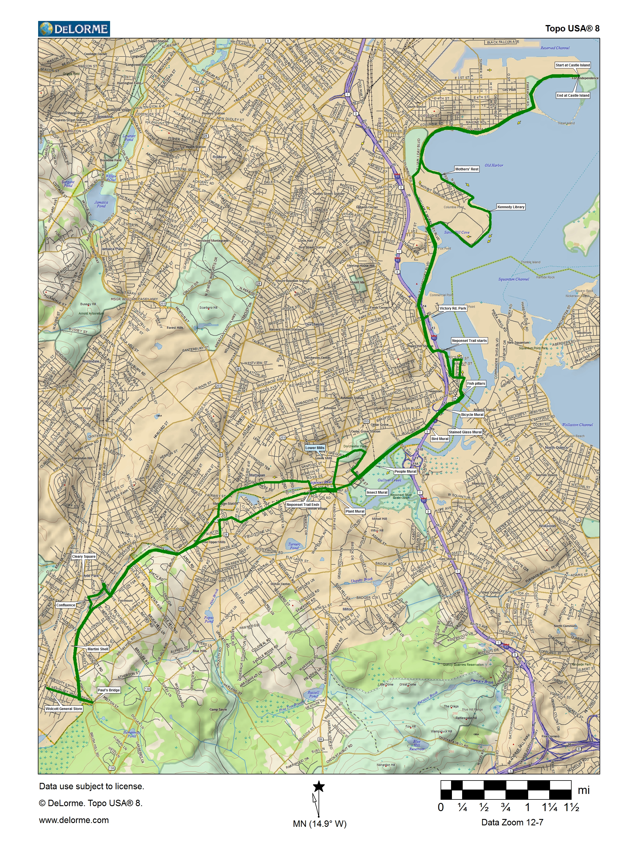
Getting There
The Boston Harborwalk passes through Castle Island. Or take Summer St. to L St. across South Boston to Day Blvd. and turn left on either the road or the parallel sidewalk.
MBTA
The closest Red Line stop is Andrew Square. MBTA Bikes on the T details are on the MBTA website.
From Andrew Station (Red Line):
- From Andrew Square, take Preble St. east.
- Where Preble St. ends at the rotary, use the rotary or crosswalks to reach the Columbia Road side and pick up the path.
- Cross Day Blvd. by the L Street Beach and join the path there
Car
Take the JFK exit from Rte. 3 and follow Day Blvd. to the end. Please consider carpooling to the ride.
Click for Google Maps